
GISjoy
- Cartography, graphics and technical writing.
- Clarifying your technical communications through maps, graphics and writing.
Services
Services will meet Canadian government requirements for NI 43-101 technical reports, for the Canadian stock exchange, and provincial and territorial assessment reports, where required.
GISjoy specialises in clear and concise technical communications for the lay person and general public, including news release graphics, presentation graphics and technical writing for websites.
GIS and Databases Services
Geographic Information Systems (GIS)
is the meeting of databases and maps providing useful spatial information with data output through reports, maps and charts.
GISjoy provides GIS and data services, particularly for the mining and environmental industries, ensuring accurate data and products. These services focus on GIS work and management that may include organizing, validating, creating and managing data. Creating maps for working purposes, technical reports and to meet Canadian government requirements are available.
All data will be organized, with GIS data and maps provided as a digital package setup ready for the client to use.
GIS and database management services include:
- organizing, validating, extracting, modifying and updating data;
- maps for technical reports, e.g. assessment and NI 43-101 reports;
- working and final map creation;
- project generation;
- drill hole sections and plans; and
- maps for presentation, presentations and posters.
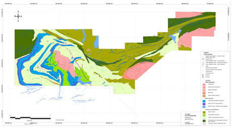
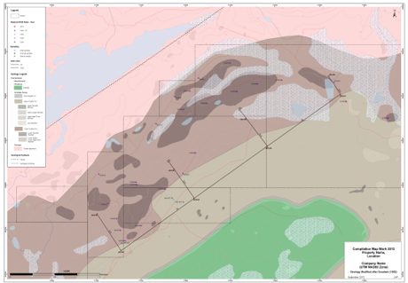
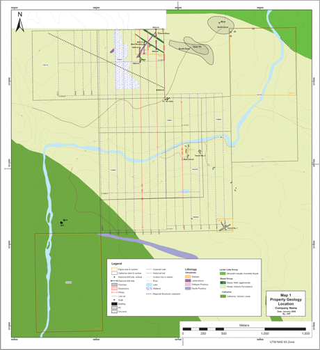
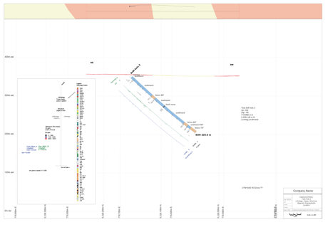
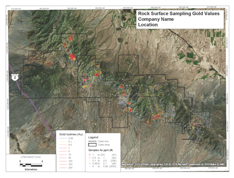
Portfolio GIS Services
Portfolio showing GIS examples.
© Copyright © 2015, GISjoy all rights reserved.